
With its snowy peaks, vast glaciers and tumbling waterfalls, Iceland’s great outdoors is truly captivating. One of the best ways to explore these dramatic volcanic landscapes is on foot, and there are plenty of excellent hiking trails to guide you to the most remote and beautiful spots.
Many places are inaccessible during the freezing winter months, but in peak hiking season (June–September) you can reach some of the more popular walking routes by bus from Reykjavík. Here are a few of our favourites, from afternoon rambles to multi-day treks.
Many places are inaccessible during the freezing winter months, but in peak hiking season (June–September) you can reach some of the more popular walking routes by bus from Reykjavík. Here are a few of our favourites, from afternoon rambles to multi-day treks.
The flat-topped Esja (or Esjan) mountain range is impossible to miss when you’re in Reykjavík, sitting serene and snow-capped just north of the city. It’s only 15km (9 miles) away, or 45 minutes by bus, so it’s a popular weekend hiking spot for locals. Several trails wind up the 914m-high (2999ft-high) peak, all well marked and graded by difficulty, and all offering sweeping views of the city and sea. The return hike from Mógilsá forestry station is a fairly easy afternoon route, taking only about 4 hours in total.
The Laugavegur trail
One of Iceland’s most iconic walking routes, the Laugavegur trail stretches for 60km (37 miles) between Landmannalaugar and Þórsmörk in southern Iceland. The four-day trek takes in a dizzying variety of landscapes, from steaming fumaroles to placid lakes, and blackened lava fields to vibrant woodlands.
The hike itself is not too difficult, but as Icelandic weather is unpredictable, you need to be prepared for conditions to change. You’ll also need to bring enough food for the whole hike, as dining options are scarce. There are campsites about every 15km (9.3 miles) along the route, and bunkhouses (which must be booked in advance). The trail is usually accessible June to September, depending on weather conditions.
The hike itself is not too difficult, but as Icelandic weather is unpredictable, you need to be prepared for conditions to change. You’ll also need to bring enough food for the whole hike, as dining options are scarce. There are campsites about every 15km (9.3 miles) along the route, and bunkhouses (which must be booked in advance). The trail is usually accessible June to September, depending on weather conditions.
The Fimmvörðuháls trail
This 24km (15-mile) trail can be added onto the Laugavegur hike. Taking about 9 hours in total, it runs from Þórsmörk to Skógar, cutting a course between Eyjafjallajökull and Mýrdalsjökull glaciers. If that first name rings a bell, it’s probably because of the volcano which erupted in 2010. Most hikers stop off at Móði and Magni, new craters created by the eruption. The rest of the landscape is equally dramatic, taking in jagged canyons, ice fields and around 20 waterfalls.
The peak of the well-marked trail is about 1000km above sea level, so the weather can be very different to either end of the trail. Fimmvörðuháls is only accessible in summer (usually mid-June to Sept). It’s possible to start at either end, but the more gradual ascent from Skógar makes it slightly easier to hike in that direction.
The peak of the well-marked trail is about 1000km above sea level, so the weather can be very different to either end of the trail. Fimmvörðuháls is only accessible in summer (usually mid-June to Sept). It’s possible to start at either end, but the more gradual ascent from Skógar makes it slightly easier to hike in that direction.
The Hveragerði trail
Starting in the town of the same name, this half-day hike in southwestern Iceland is fairly easy and well signposted. One of the biggest draws is the hot springs which dot the route, several of which are the perfect temperature for a muscle-soothing soak; their billowing clouds of steam give the route its nickname, “The Smokey Valley Trail”. The most popular bathing spots have areas of decking to make access easier, but there are no changing facilities to speak of, so many walkers simply wear a swimsuit under their hiking gear. Aside from the hot springs, the trail attracts people with its panoramic views of the south coast – on a clear day, you can see as far as the Westman Islands.
Hornstrandir Nature Reserve
Only accessible by boat, and with no motor vehicles allowed, Hornstrandir Nature Reserve feels truly remote. It’s located in the north of the rocky, wild Westfjords region, geologically the oldest part of this relatively young country. Its landscapes have a sense of grit and gravitas, encompassing sheer basalt cliffs, glittering fjords, fog-cloaked mountain passes and serene lakes. Wherever you go, keep your eyes peeled for adorable Arctic foxes, which are protected in the nature reserve.
The whole area is criss-crossed with trails, from short walking routes to multi-day treks. Whichever you opt for, you’ll need to bring enough food and equipment to be completely self-sufficient for the duration of the hike. If you’re not accompanied by a guide, you should feel comfortable navigating with a map and compass, as the changeable weather can affect visibility with little notice.
The whole area is criss-crossed with trails, from short walking routes to multi-day treks. Whichever you opt for, you’ll need to bring enough food and equipment to be completely self-sufficient for the duration of the hike. If you’re not accompanied by a guide, you should feel comfortable navigating with a map and compass, as the changeable weather can affect visibility with little notice.
Hellnar to Arnarstapi
The Snæfellsnes peninsula in western Iceland has plenty of scenic hikes, but one of the prettiest is the fairly easy 2.5km (1.6-mile) coastal trail from Hellnar to Anarstapi. On your way between these two sleepy fishing villages, you’ll spot Arctic terns nesting on the steep cliffs, pass ancient lava fields carpeted in soft green moss, and get breathtaking views of the icy dormant volcano of Snæfellsjökull.
There’s plenty more to see while you’re on the peninsula, too, including the picturesque Kirkjufell (Church Mountain), bright orange Svörtuloft Lighthouse, and 8000-year-old lava cave of Vatnshellir.
There’s plenty more to see while you’re on the peninsula, too, including the picturesque Kirkjufell (Church Mountain), bright orange Svörtuloft Lighthouse, and 8000-year-old lava cave of Vatnshellir.
Jökulsárgljúfur canyon
Of all Iceland’s innumerable beautiful waterfalls, Dettifoss is perhaps the most impressive. Located in the northernmost part of Vatnajökull National Park, in northeast Iceland, it’s one of Europe’s most powerful waterfalls. You can feel the thundering of the water through your feet as you approach, and the sight of the falls plunging into Jökulsárgljúfur canyon is sure to take your breath away.
There are various riverside trails in the area, all well marked. Many of them take in the waterfalls of Selfoss and Hafragilsfoss as well as Dettifoss; you can see all three in a loop which takes around 2 hours. For more of a challenge, you can spend two days hiking the 32km (20 miles) between Dettifoss and Ásbyrgi, a spectacular canyon filled with dense woodland. Its perfect horseshoe shape is said to be an imprint left by Sleipnir, Odin’s eight-legged steed.
There are various riverside trails in the area, all well marked. Many of them take in the waterfalls of Selfoss and Hafragilsfoss as well as Dettifoss; you can see all three in a loop which takes around 2 hours. For more of a challenge, you can spend two days hiking the 32km (20 miles) between Dettifoss and Ásbyrgi, a spectacular canyon filled with dense woodland. Its perfect horseshoe shape is said to be an imprint left by Sleipnir, Odin’s eight-legged steed.
Read next
Top 10 walking routes in Wales
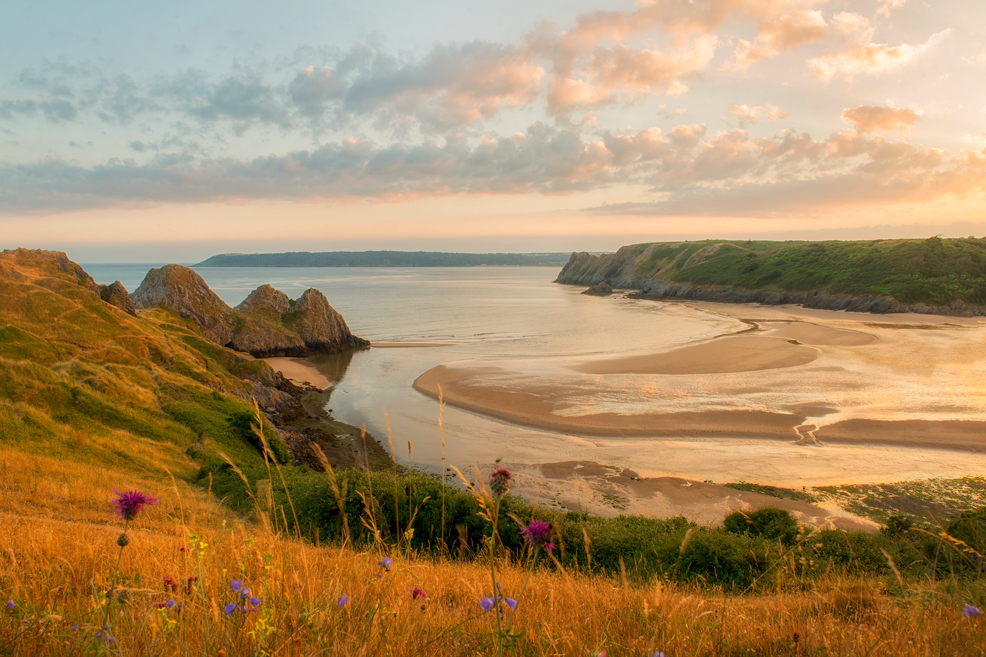
From leisurely beach strolls to mountain hikes, discover the best walking routes in Wales.
8 of the best walks on England's South Coast

There is no better way to enjoy England’s green and pleasant land than on foot...